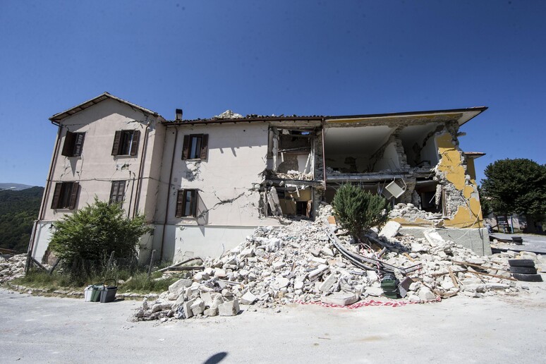
The ground in the area of the
central Italian village of Accumoli struck by a 6.2-magnitude
earthquake last Wednesday has shifted by 16 centimeters,
according to satellite data released on Monday.
The images from satellites Sentinel 1A and Sentinel 1B in
the European Space Agency's Copernicus program were analyzed by
the Italian institute for electromagnetics research of the
National Research Council (CNR).
Satellite images of the faultline also revealed that the
ground sank by 20 cm in the area.
The epicenter of the quake, which has left 292 people dead,
was close to the Lazio village.
Eleven people were killed in Accumoli.
ALL RIGHTS RESERVED © Copyright ANSA